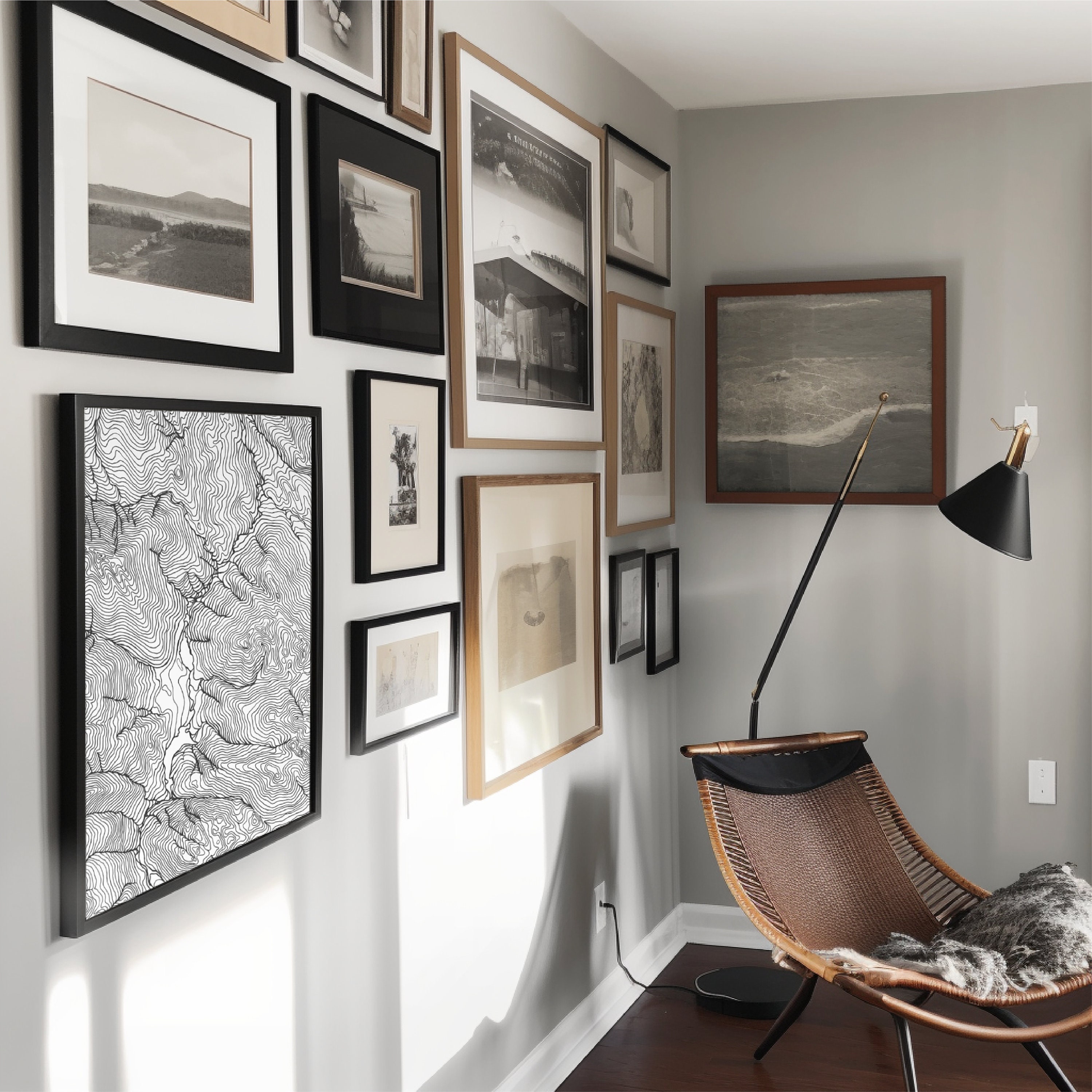
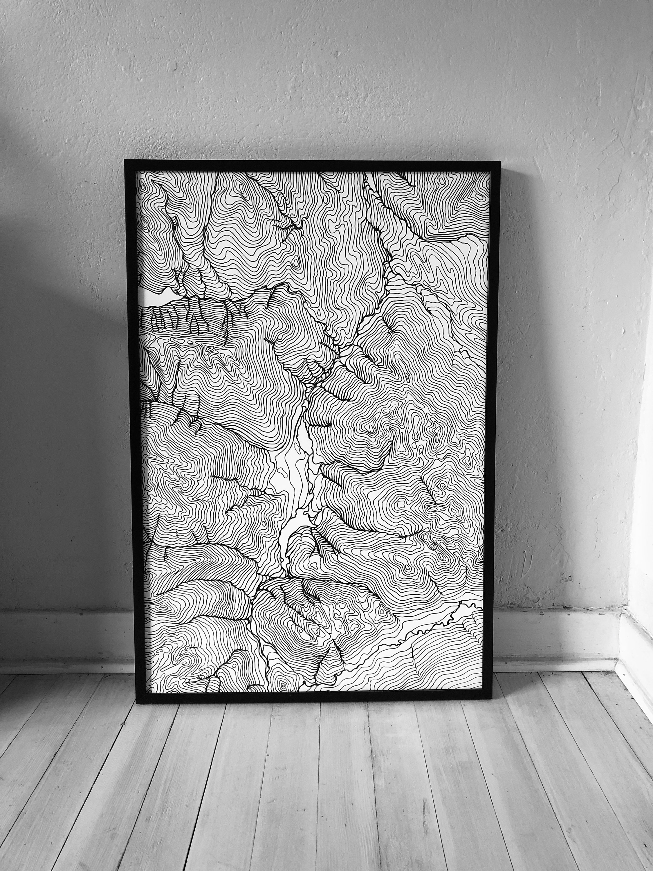
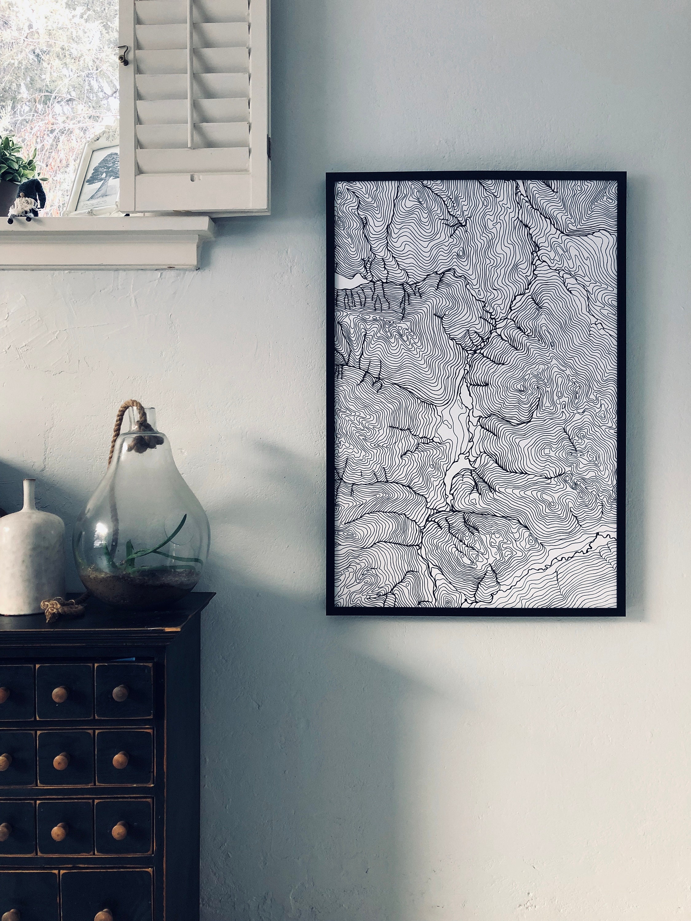
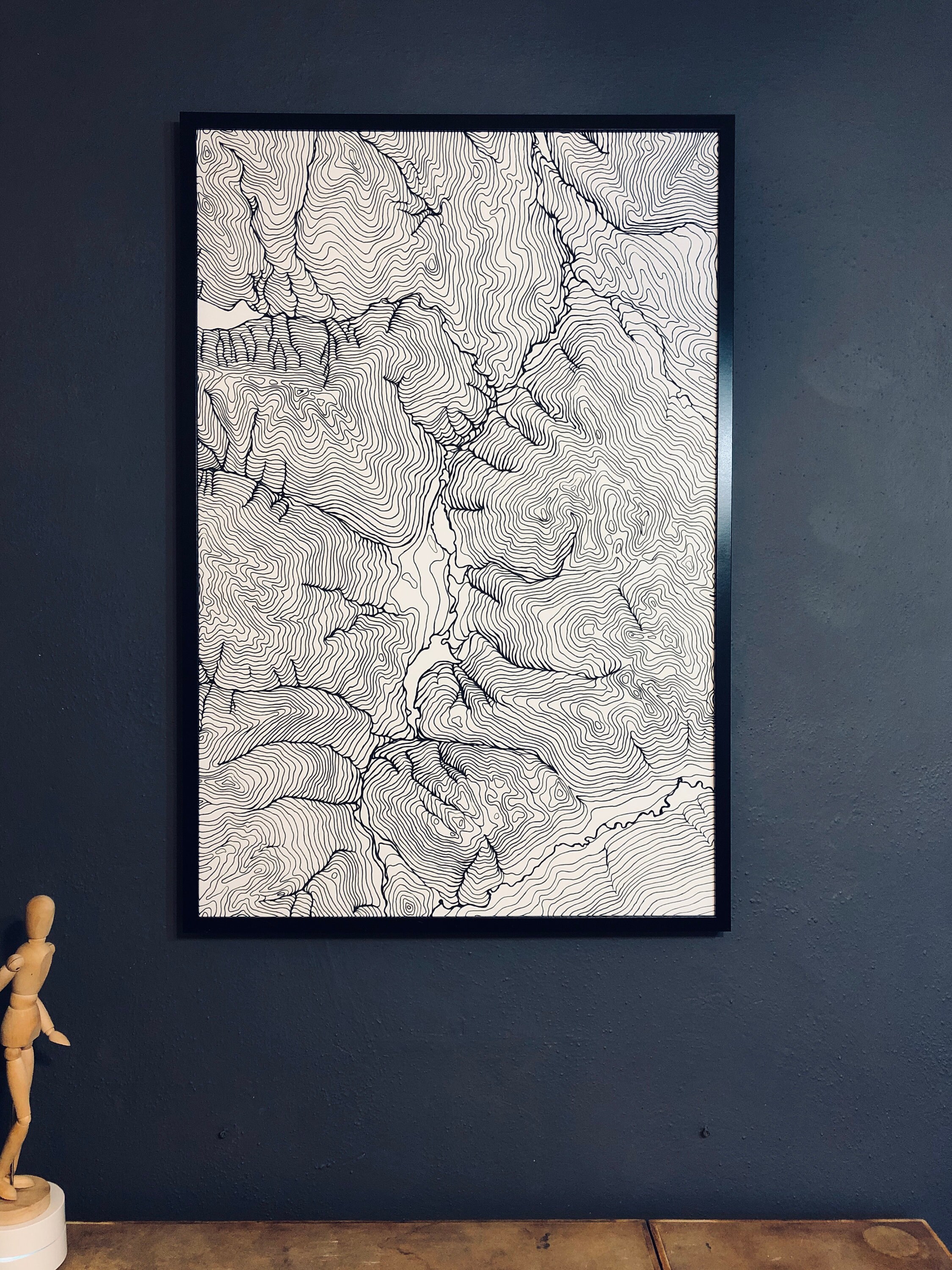
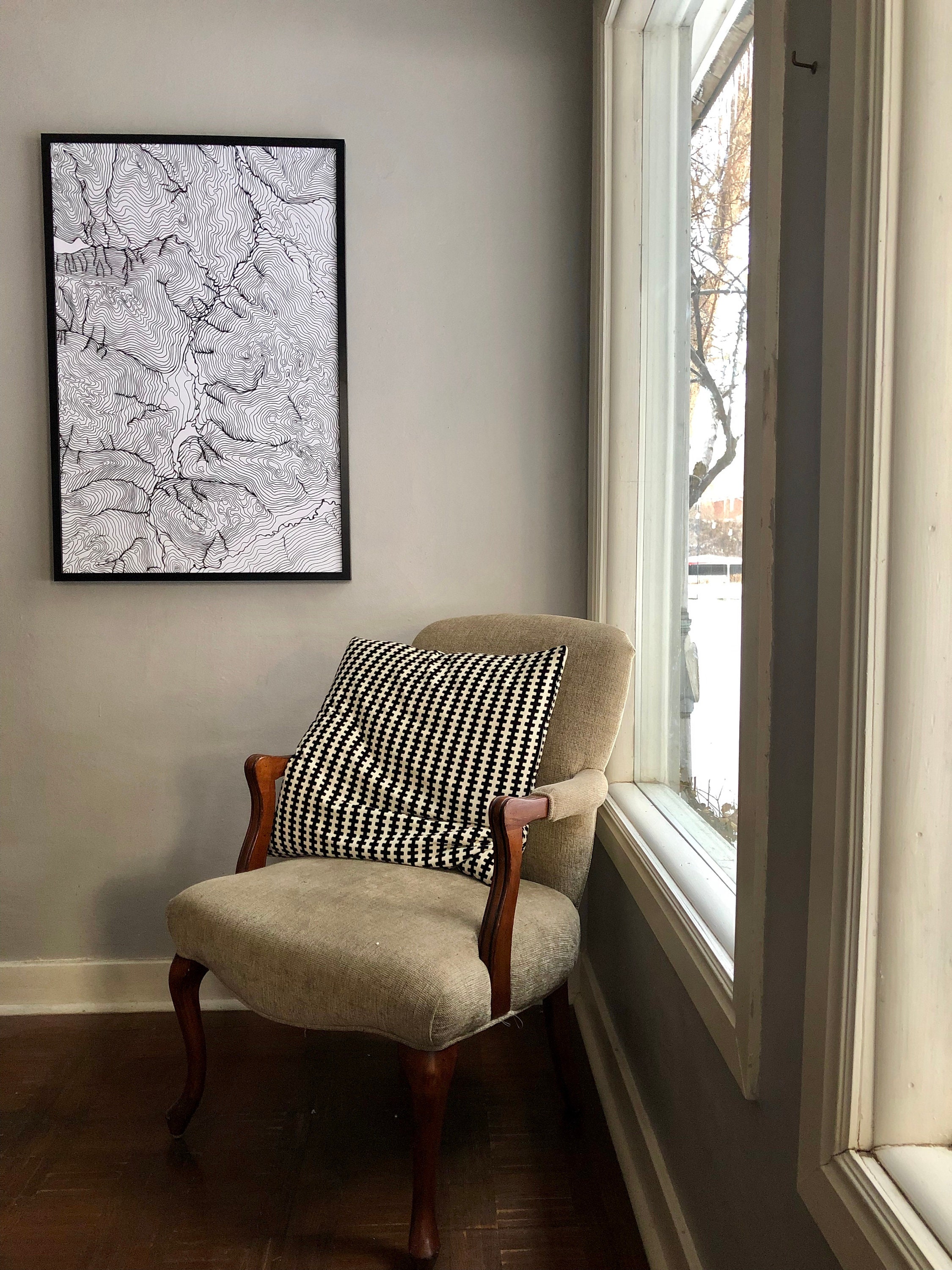
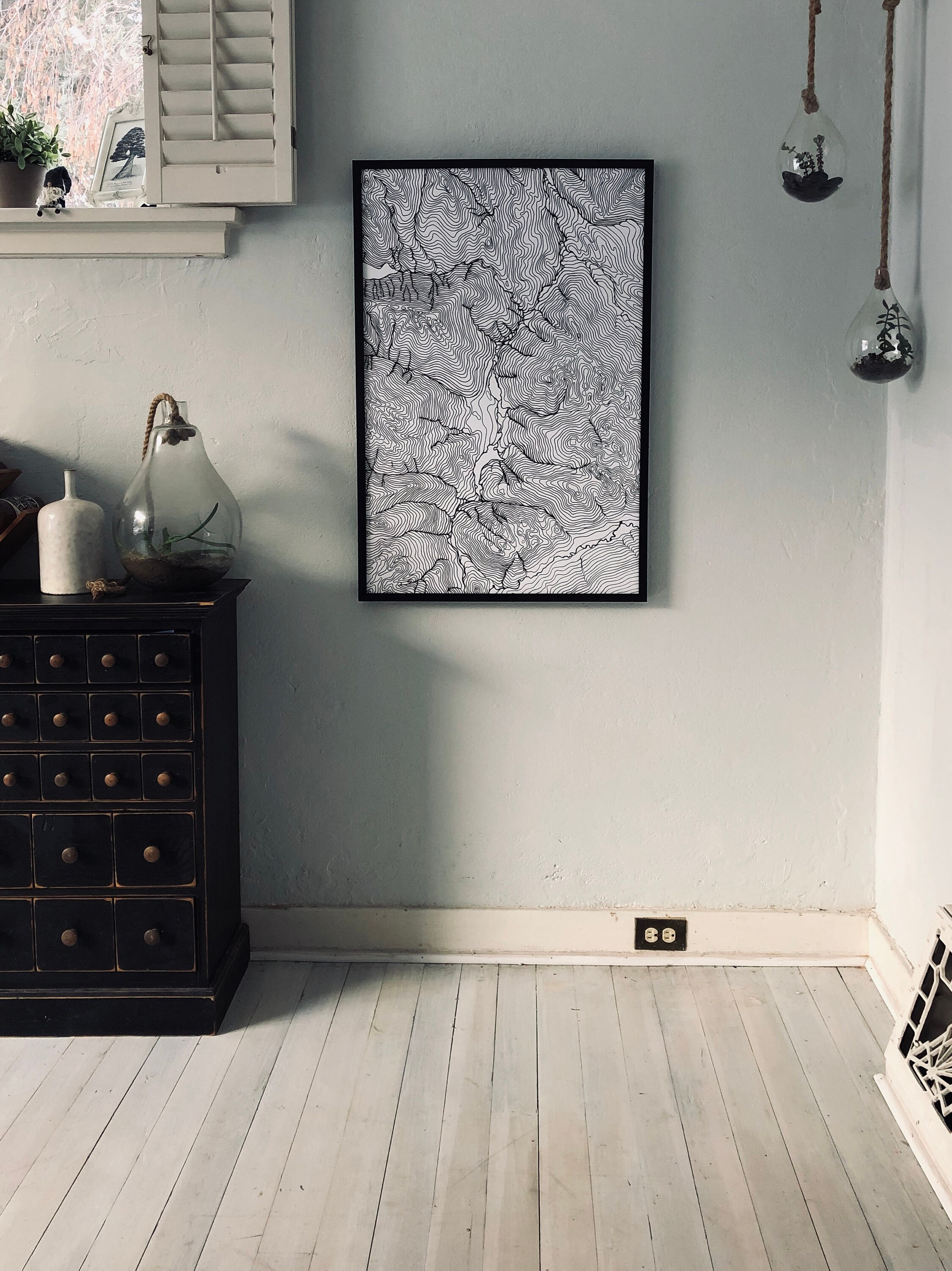
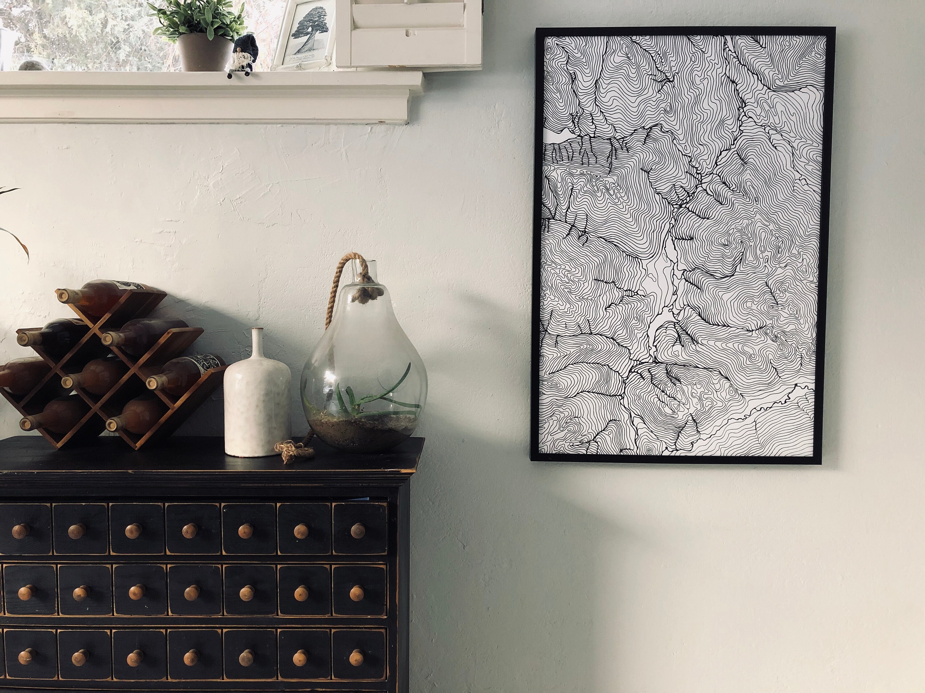
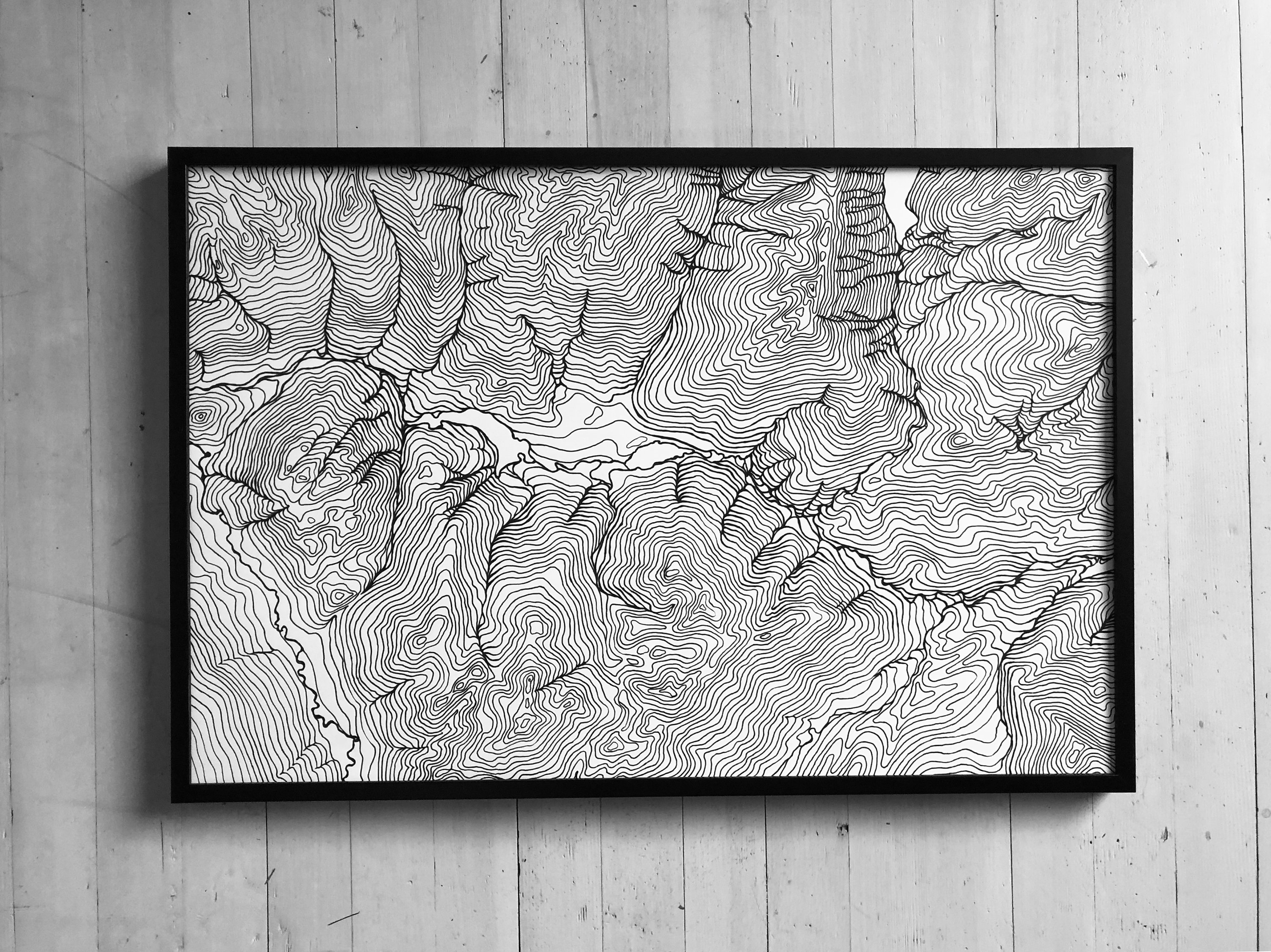
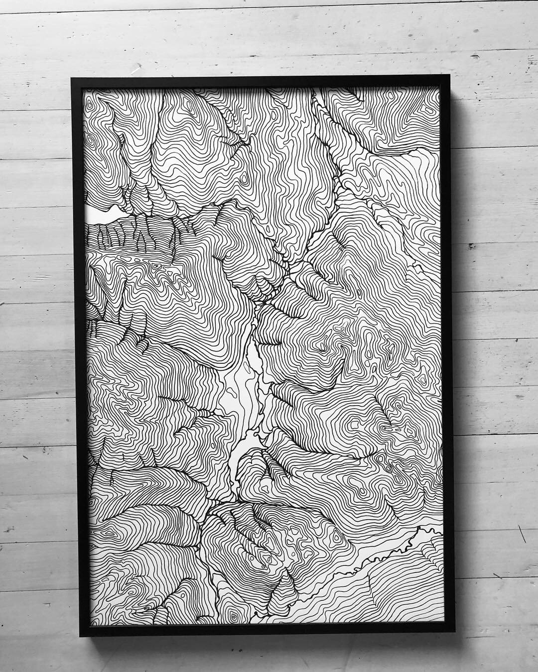
Map of Whistler, British Columbia, Ski Art, Canadian Rockies, Topographical map, Contour Map, Set of 2
$110.00
Topographical Map of Whistler, British Columbia, Canada. 24x36 inches.
This map of the Whistler mountain ranges is definitely a statement piece of art that you'll never get tired of staring at. This large map depicts the Canadian Rockies around the village of Whistler. The map is a hand drawn interpretive topography of the landscape. These interpretive maps allow me to accentuate the depths and variations in natural landscape. While the topography is abstracted, the layout of the mountains, rivers, and canyons are an accurate depiction of the area.
Inquire about framing options.
This listing:
Size: set of 2 24x36 images.
Type: Canadian Rockies Topography
Paint: High quality archival ink
Ships in a sturdy tube.
Signed
Inquire about custom orders and wholesale options.
Here's what customers are saying:
"Truly stunning artwork -- unique, and a beautiful, crisp print." -Brianna
"The print is beautiful!! So detailed and exactly what I was looking for." -Misty
"The print is beautiful and the customer service was wonderful!" -Lauren
"I love it! Looks more gorgeous in person. Thank you!" -Emma
"A grand print that makes quite the impression." -Sarah
"The print is beautiful in person, and shipped very quickly. Could not be more pleased!" -Gwendolyn
"The photos do not do these justice. Very gorgeous. I plan on ordering more for my home." -Caitlyn
Returns & Exchanges
I gladly accept returns and exchanges
Just contact me within: 14 days of delivery
Ship items back to me within: 30 days of delivery
I don't accept cancellations
But please contact me if you have any problems with your order.
The following items can't be returned or exchanged
Because of the nature of these items, unless they arrive damaged or defective, I can't accept returns for:
- Custom or personalized orders
- Perishable products (like food or flowers)
- Digital downloads
- Intimate items (for health/hygiene reasons)
Frequently Asked Questions
Wholesale availability
Wholesale and Trade is available through my trade site. https://www.wescover.com/direct/erik-linton
